DJI says its advantage lies in "end-to-end R&D, manufacturing in China, and global-scale production."

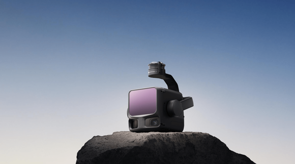
Photo from DJI
by LU Keyan
China's DJI, the world's largest drone maker, is expanding into high-end aerial mapping with a new long-range lidar system priced at about 109,000 yuan (US$15,000)—roughly one-tenth the cost of comparable imported models—in a move that could upend pricing in the professional surveying market.
The Zenmuse L3, unveiled Wednesday, combines long-range detection of up to 950 meters (about 3,120 feet) with improved accuracy and penetration. Integrated with DJI's proprietary drone and software ecosystem, it enables a one-stop workflow for data capture, processing, and visualization. The system marks DJI's first China-developed breakthrough in long-range lidar technology since it began developing laser sensors in 2016.
Before DJI's entry, high-end mapping equipment was dominated by international suppliers, with systems often selling for about 1 million yuan and requiring manual assembly of cameras, sensors, and positioning modules.
A DJI spokesperson said the company's advantage lies in "end-to-end R&D, manufacturing in China, and global-scale production." The strategy is extending DJI's reach from consumer drones to industrial applications such as infrastructure, energy, and environmental monitoring, where lidar's ability to capture 3D data in complex terrain and low light offers a clear edge over traditional optical imaging.
The company said the Zenmuse L3 can map six square kilometers in 15 minutes, compared with hours of underground surveying previously required at an Australian gold mine — highlighting the system's efficiency gains.
Industry estimates place the global aerial mapping market at US$5–8 billion, with an expected compound annual growth rate (CAGR) of around 10% over the next decade. Google, Hexagon, and Nearmap together account for about half of global market share, while DJI holds roughly 20%, according to research firm Future Market Insights. With costs falling and applications expanding, DJI's integration of lidar and drone technology could redefine the high-end surveying market.